
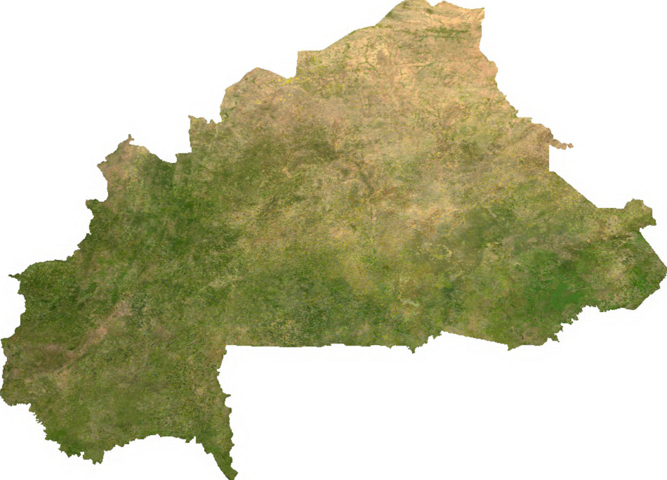
Duoro kɔre:Burkina sat.png
A daŋkaabo semmo: 800 × 575 pixels. Amineresolutions: 320 × 230 pixels | 640 × 460 pixels | 950 × 683 pixels.
A dage fara meŋa (950 × 683 pixels, file size: 693 KB, MIME type: image/png)
ECW to TIFF to PNG (compression level 9).
| This file is in the public domain, because it was generated by a user, using free sources available at The Map Library.
Note that this does not include the maps in the Global Administrative Areas section of the homepage. |
Daga yɛlkori
Tɔ a bebiri/wagere a kaa a daga wagere na o naŋ sãã.
| Bebiri/Wɔgre | Bondemanna | Manna wulo | Tontona | Teɛroo | |
|---|---|---|---|---|---|
| pampana | 02:57, 13 Gyɔlaai 2006 | | 950 × 683 (693 KB) | Unquietwiki | ECW to TIFF to PNG (compression level 9). {{PD-MapLibrary}} |
Daga tontone
The following page uses this file:
Donɛɛ zaa daga tontone
Ana wikis mine ŋa maŋ tonna neŋ a daga ŋa:
- Era enna af.wikipedia.org
- Era enna arz.wikipedia.org
- Era enna ast.wikipedia.org
- Era enna bcl.wikipedia.org
- Era enna bs.wikipedia.org
- Era enna ca.wikipedia.org
- Era enna cs.wikipedia.org
- Era enna cy.wikipedia.org
- Era enna dag.wikipedia.org
- Era enna de.wikipedia.org
- Era enna de.wikivoyage.org
- Era enna diq.wikipedia.org
- Era enna en.wikipedia.org
- Era enna es.wikipedia.org
- Era enna ff.wikipedia.org
- Era enna fr.wikipedia.org
- Era enna fr.wikinews.org
- Era enna fr.wikivoyage.org
- Era enna ga.wikipedia.org
- Era enna gl.wikipedia.org
- Era enna gpe.wikipedia.org
- Era enna ha.wikipedia.org
- Era enna he.wikivoyage.org
- Era enna hr.wikipedia.org
- Era enna hu.wikipedia.org
- Era enna ia.wikipedia.org
- Era enna id.wikipedia.org
- Era enna incubator.wikimedia.org
- Era enna is.wikipedia.org
- Era enna kab.wikipedia.org
- Era enna ka.wikipedia.org
- Era enna la.wikipedia.org
- Era enna lt.wikipedia.org
- Era enna mdf.wikipedia.org
- Era enna mk.wikipedia.org
- Era enna new.wikipedia.org
- Era enna nqo.wikipedia.org
- Era enna ps.wikipedia.org
- Era enna rue.wikipedia.org
- Era enna sd.wikipedia.org
- Era enna si.wikipedia.org
- Era enna sv.wikipedia.org
Kaabu teŋdaa bonne kyaare a gaŋe ŋa.